Map Examples
Check out our map examples that are customizable with our plugin’s features. Discover new ideas for your own local or world map and add them to your WordPress project.
Navigate the property market with ease using our interactive real estate demo map
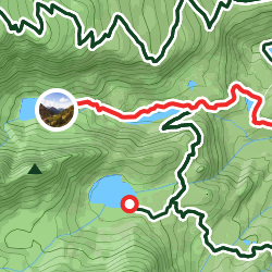
One of the most popular Everest routes with camps and popular locations
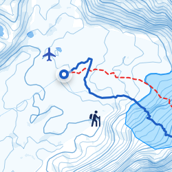
Explore popular hiking routes with key points and trail information
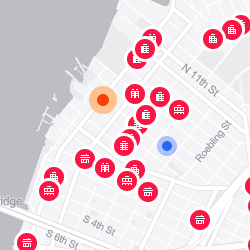
Discover properties with key features and location details
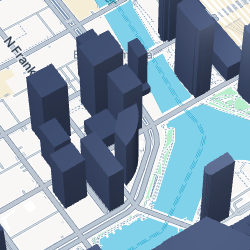
View real estate in 3D with key data and local surroundings
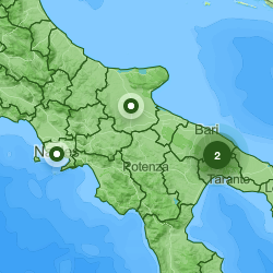
Explore the map with the 28 largest cities in Italy grouped by their population.
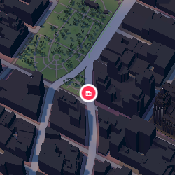
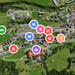
Navigate between markers and locations with the immersive virtual tour builder
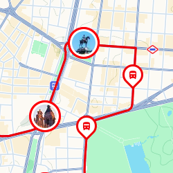
Journey through Madrid’s landmarks effortlessly with our Madrid Bus Tour demo map
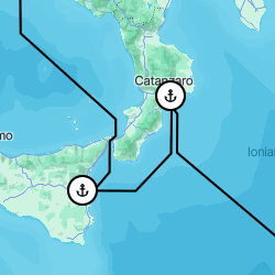
Embark on an unforgettable journey through the azure waters of the Mediterranean

Position popups in a fixed spot for consistent marker interaction
Simple marker submissions for collaborative mapping
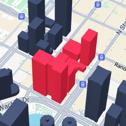
Interactive 3D property map with custom models and detailed popups
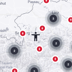
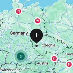
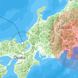
The Austria Store Locator that displays map markers within the user’s vicinity
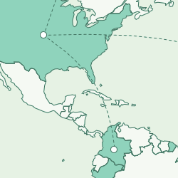
Boundary map with interactive tour showcasing visited countries with year of travel
The elevated retreat nestled in the Rhine valley, renowned for skiing and summer tourism
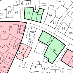
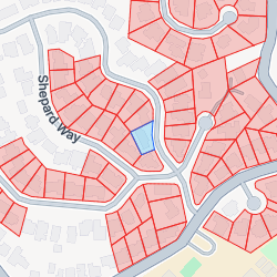
A map designed in the cadastral style, meticulously created using shapes and marker features
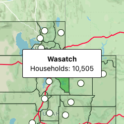
Choropleth map of Utah state, showing the number of counties’ households
An example of using shapes and drawing tools and their settings
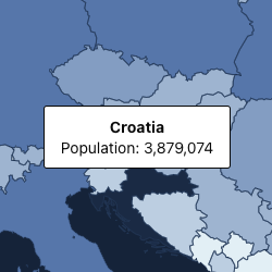
Visualizing Europe’s population through choropleth maps of countries
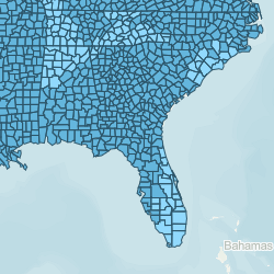
Explore a detailed map of the United States, revealing every county and its corresponding name
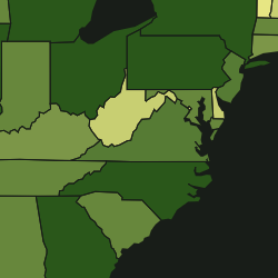
United States population map, depicting state populations, using choropleth visualization